Banner 1

Ponds of the Thar Desert — Community water data from Bikaner, Phalodi & Jaisalmer

A community-managed database of traditional water bodies, powered by the SBIF CONSERW initiative
Ponds of the Thar Desert — SBIF CONSERW Jaldhara Initiative ● Live Data

Water Conservation · Rajasthan

Ponds of the
Thar Desert

Geo-tagged water body data from Bikaner, Phalodi & Jaisalmer districts — surveyed by local communities, updated in real time.

Explore Ponds Data →

3
Districts
Live
Map View
Community
Verified Data

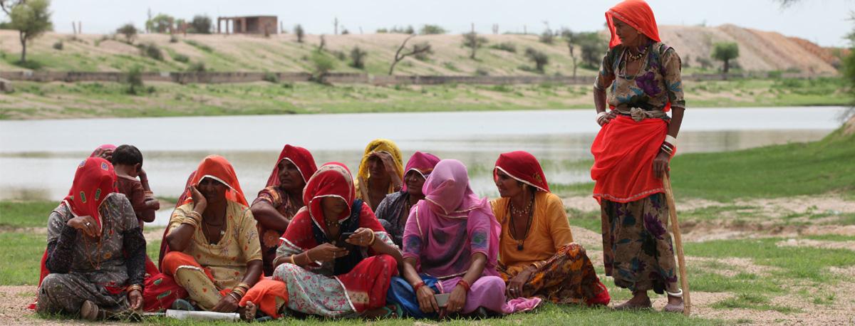
The SBIF CONSERW: Jaldhara in Bikaner, Phalodi and Jaisalmer Districts Rajasthan initiative, supported by the SBI Foundation, reflects a continuous, community-driven process of water conservation in Rajasthan’s desert regions. It builds on traditional knowledge to restore water systems, protect grazing lands, and strengthen collective stewardship of natural resources. Sustained collaboration among communities, institutions, and public systems enables long-term resilience and ecological balance.

140 Ponds Surveyed

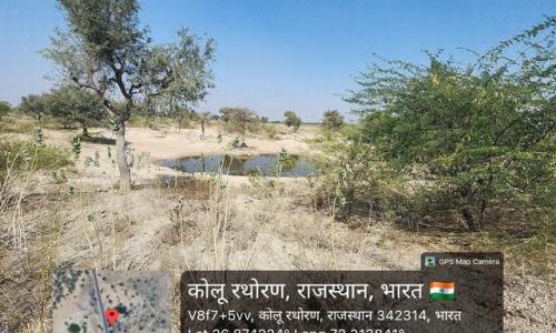
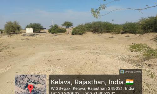
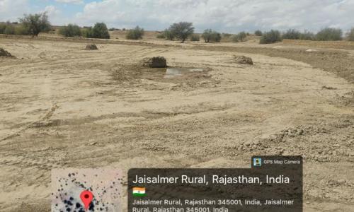
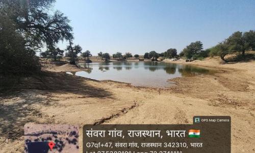
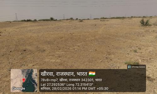
Traditional water bodies documented across Bikaner, Phalodi and Jaisalmer — each geo-tagged and community-verified.

180 Villages Covered

Rural settlements where local surveyors have mapped water bodies, grazing lands, and seasonal pond usage patterns.

3 Districts

Bikaner, Phalodi and Jaisalmer — three of Rajasthan's most water-stressed desert districts, at the heart of the Thar.

Data Updated

New pond records added continuously by trained community surveyors. Every entry reviewed and validated before publishing.

Our Vision: Breaking barriers for promoting desert centric social innovations

About This Initiative

The SBIF CONSERW: Jaldhara project is a community-led water conservation programme operating across Bikaner, Phalodi and Jaisalmer districts of Rajasthan, supported by the SBI Foundation.

This platform is the project's live data portal — a geo-tagged, searchable database of traditional water bodies (talaabs, johads, kunds) documented by local community surveyors. It exists to make ground-level water data visible, accessible, and useful for planners, researchers, and communities alike.

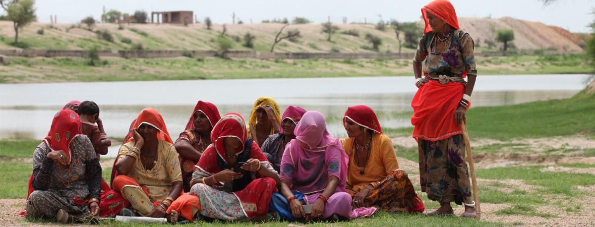
Urmul Seemant Samiti has worked in the Thar desert for over three decades. This initiative builds on that presence — combining traditional ecological knowledge with digital documentation to protect water systems that desert communities depend on.

✓ Phase 1

Survey & Documentation

● Phase 2 — Ongoing

Data Portal Live

◌ Phase 3 — Planned

Community Stewardship Training

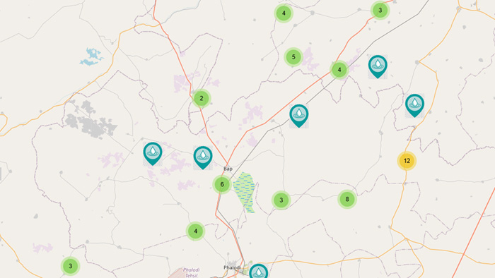
Ponds Map

Geotagged map of ponds

Proudly based in Thar desert of Western Rajasthan in  🇮🇳 India.

Reload content for this field